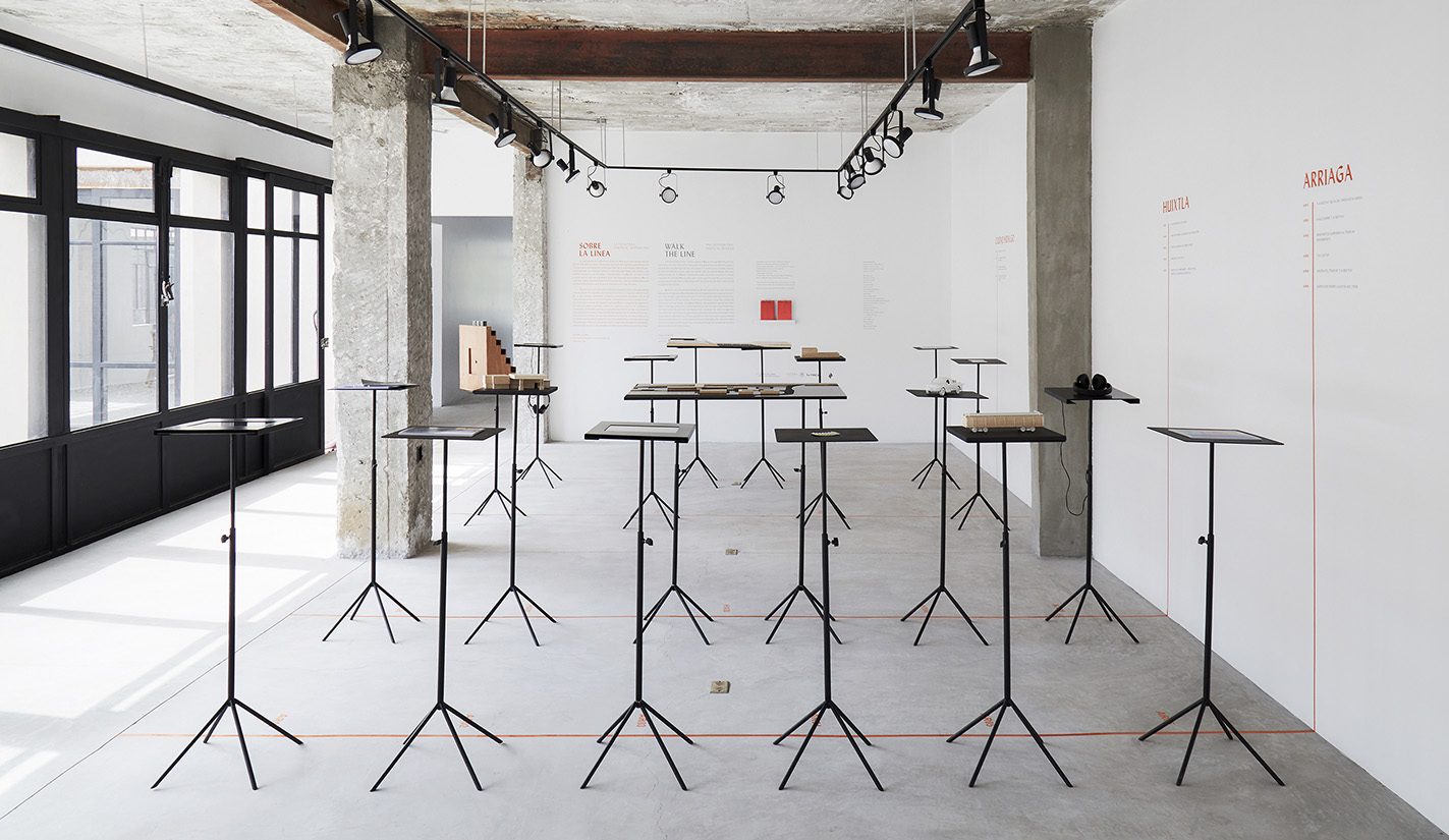
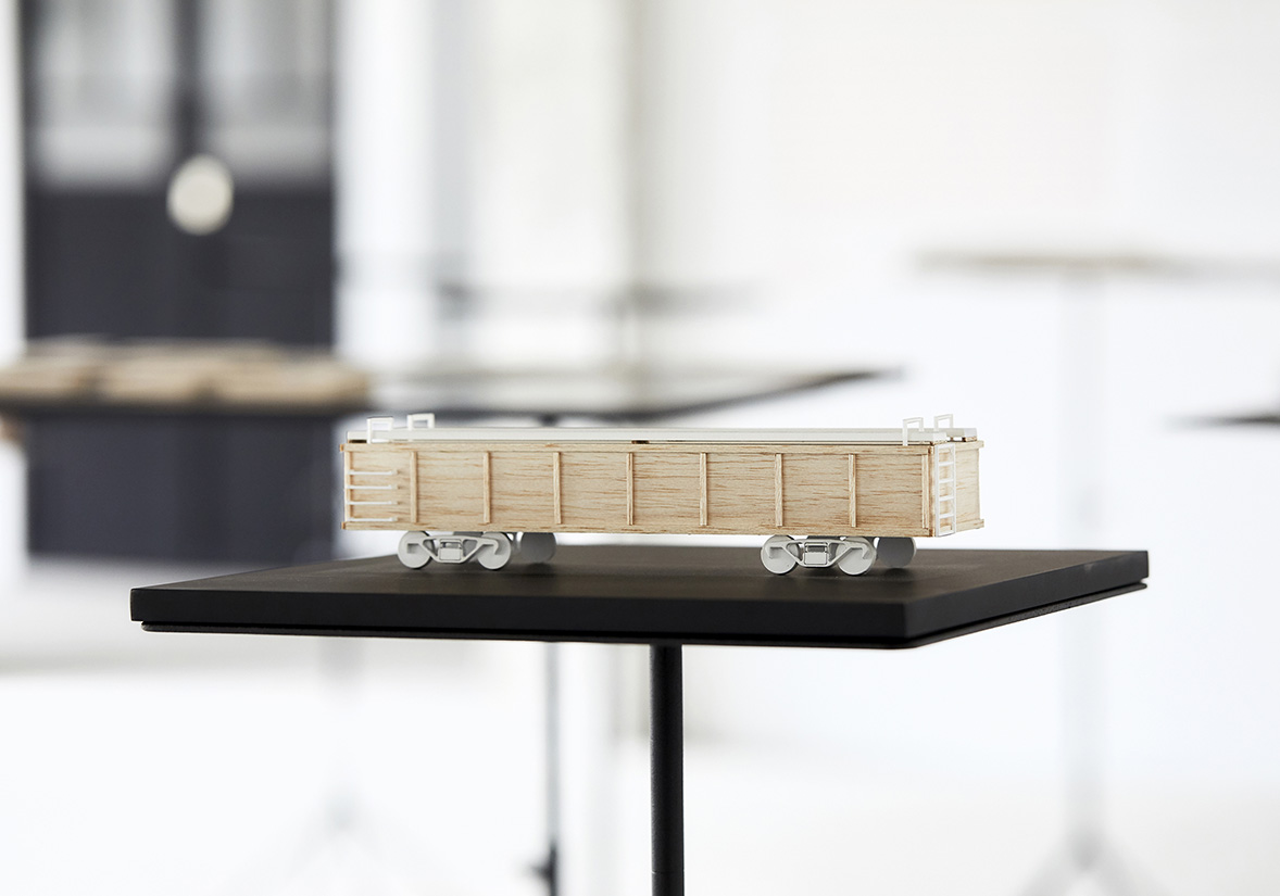
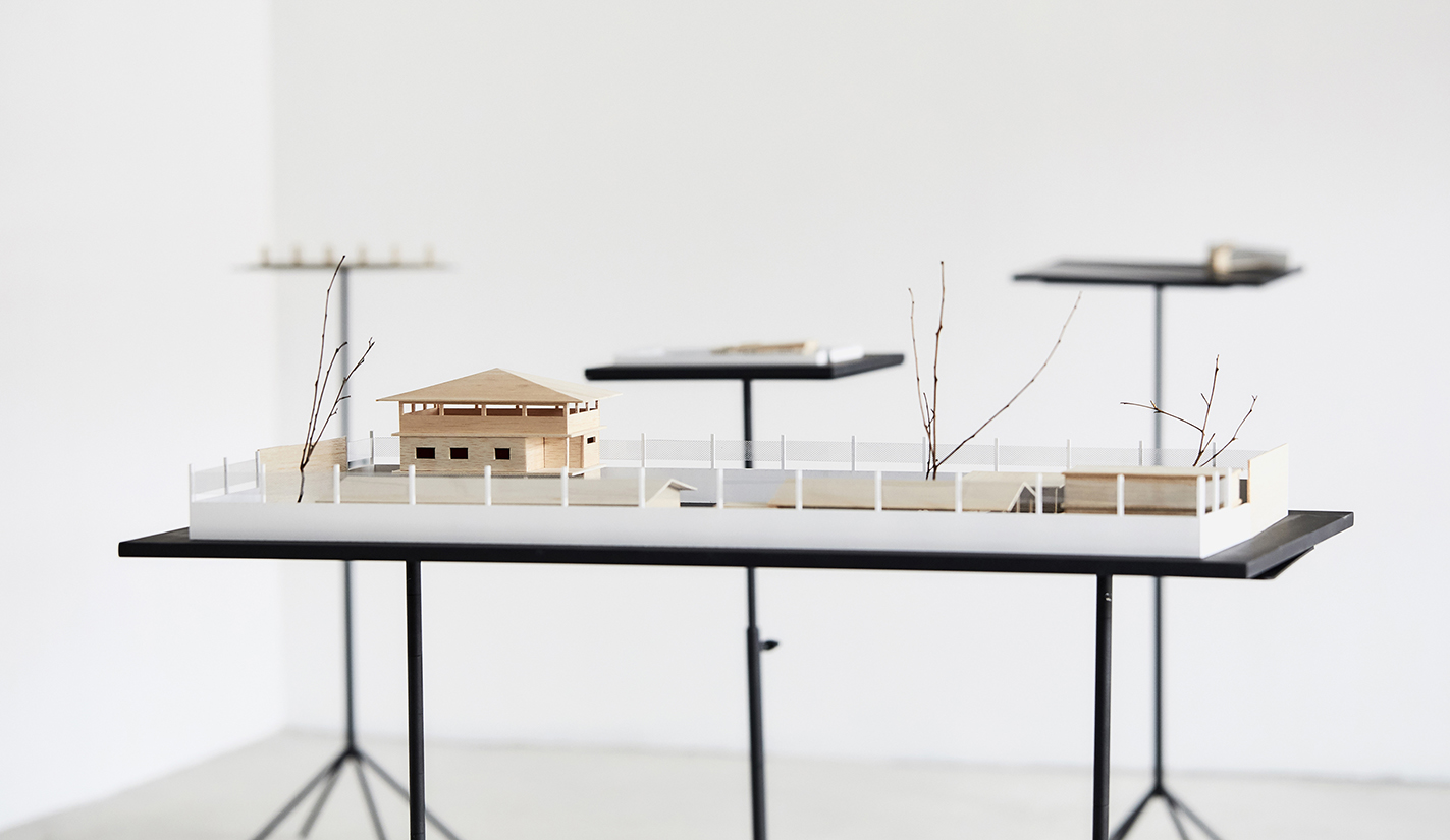
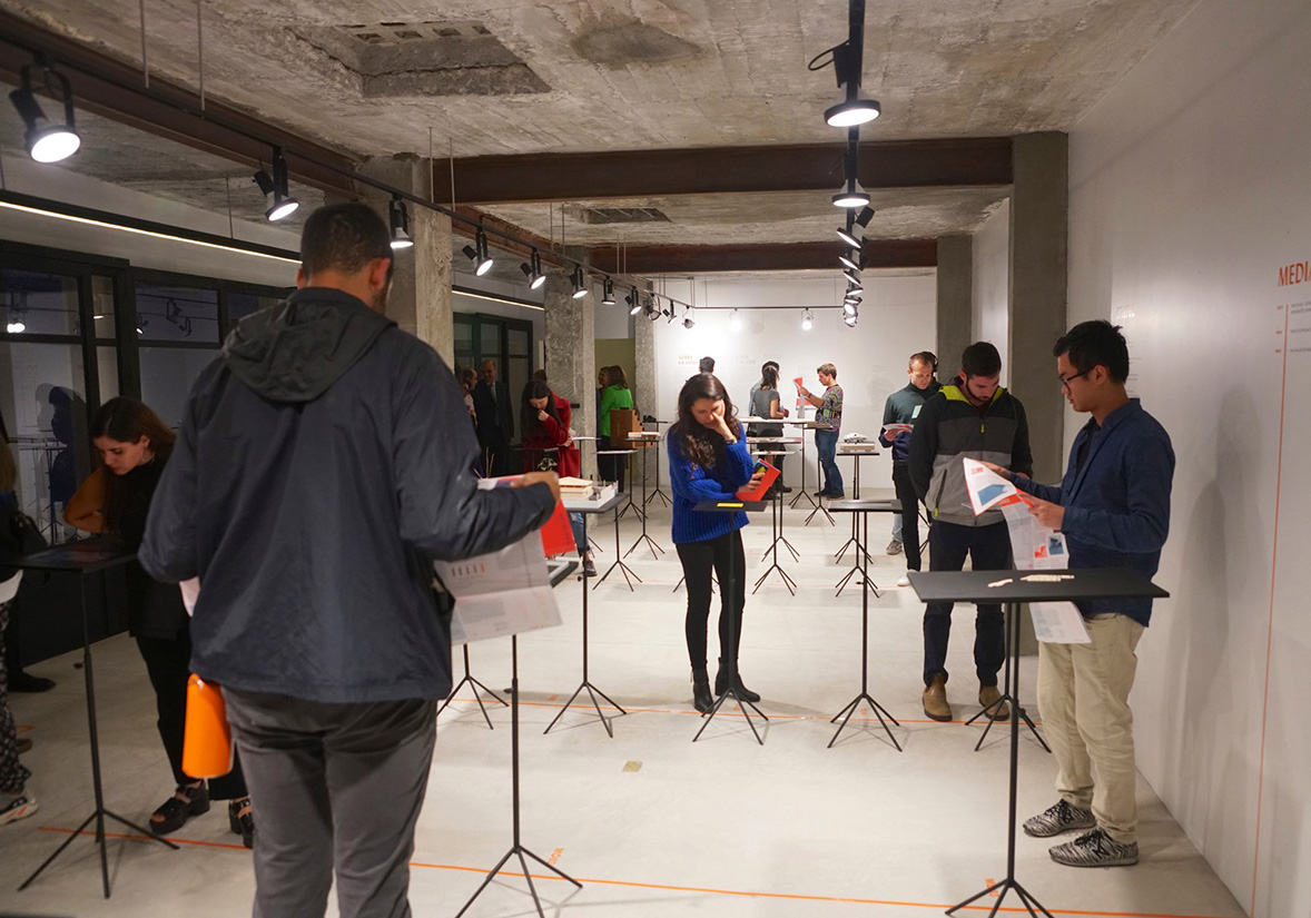
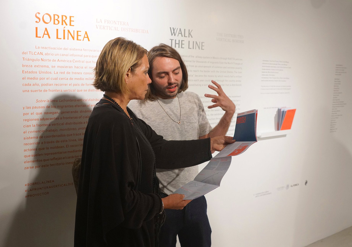
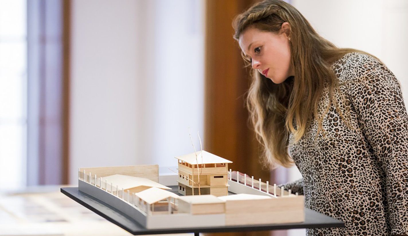
Focusing on the initial seven cities with train stations along the route commonly taken by undocumented migrants traveling through Mexico towards the United States, this exhibition spatially represents six key conditions—commerce, work, monitoring, protection, violence, and obstruction—using a coordinate system. Walk the Line showcases the narratives of migrant communities, moving away from conventional representations based solely on figures and statistics. Instead, it employs models, infographics, audiovisual presentations, photographs, and documentaries to capture the essence of the built environment and the nuanced experiences of navigating this unfamiliar terrain.
Walk the Line delves into the ways in which the movement and halts of mass migrations influence the physical landscape of the territories they pass through. This exploration gives rise to dynamics often akin to those found in regions adjacent to official borders.
1/
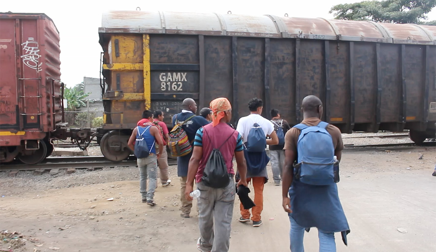
Beginning in the 1980s, the Northern Triangle of Central America plunged into a crisis marked by poverty and extreme violence, prompting the displacement of thousands to Mexico. The revival of a fragmented railway system, propelled by NAFTA policies, provided an informal route for migrant groups to journey northward, aiming to reach the US border.
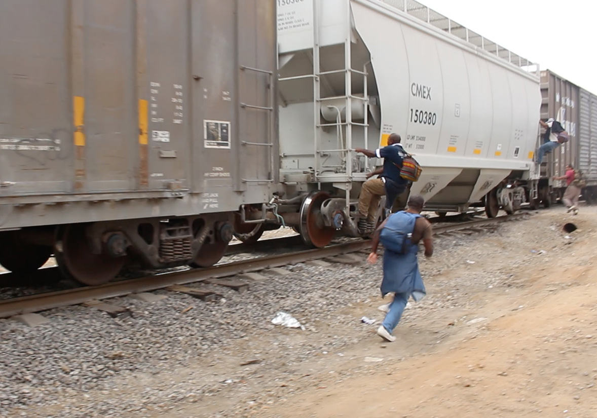
Traveling aboard freight cars through remote regions, these migrants traversed the country anonymously, often completing their journeys within short periods. Over time, three primary routes emerged, gradually gaining popularity. Dubbed ” La Bestia” (“The Beast,”) this network facilitated the clandestine transit of nearly half a million migrants annually, creating a linear and steady flow that constituted a distributed vertical border across Mexico.
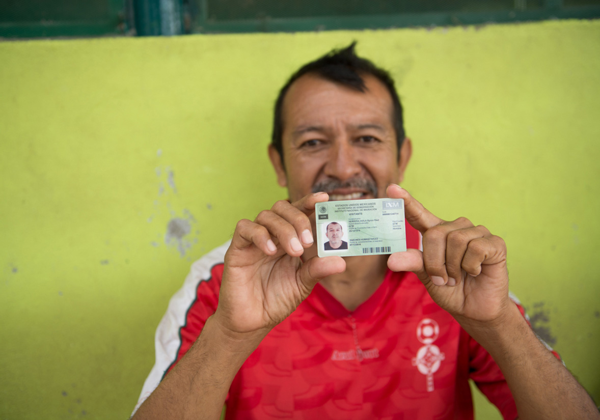
The frequent stops along these routes necessitated constant vehicle changes for migrants, with intervals between trips varying from days to years. Consequently, their experiences extended beyond the train carriages. The influx of undocumented migrants in cities adjacent to the railway tracks gave rise to new dynamics and spatial transformations in these areas, redefining the concept of the southern border.
As a result of these interactions, the southern border, traditionally traversed transversally, morphed into a Distributed Vertical Border. This border territory extends and diffuses beyond its official confines, permeating into the country’s interior. Serving as the epicenter of this transformation are physical elements typically associated with less permeable borders and political tensions, delineating the pathways traversed by immigrants from Central America.
1/
While media coverage has shed some light on the journey of migrants from Central America to the north, little attention has been given to the impact of this displacement on the physical and psychological environments of the territories they traverse. The exhibition delves into this ‘unexplored’ terrain, where architecture takes on distinct forms that embody the prevailing conditions along the route, influenced by treaties and protocols. Moreover, it critically examines the tangible manifestations resulting from these migration processes, revealing hidden spatial relationships within Mexico, between its territory and the traces left – and constructed – by migrants along their journey.
1/
As part of the exhibition, a series of conferences were held featuring researchers who have explored topics closely related to the exhibition’s themes.
In ‘The Architectures of Relevance,’ Ignacio G. Galán examined the characteristic modes of residence during an era defined by the increasing circulation of capital, goods, images, and people. He discussed strategies developed to intervene in these modes.
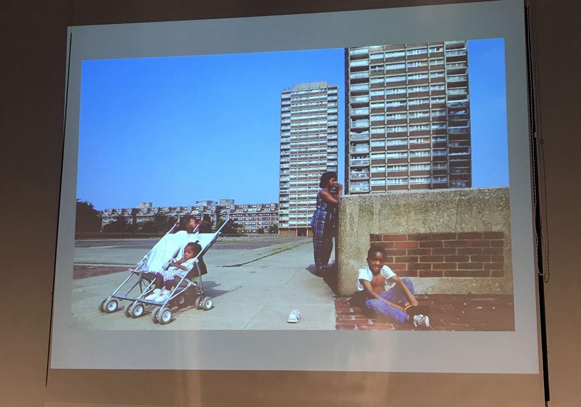
‘When Empires Collapse’ featured Justinien Tribillion, who delved into how urban politics in Paris and London, particularly regarding housing, have shaped an imaginary that influences spatial and architectural responses to migration.
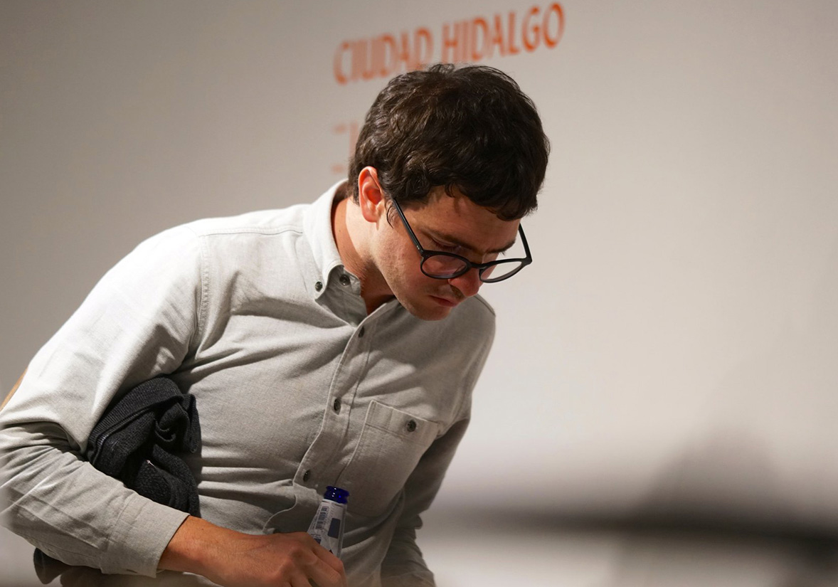
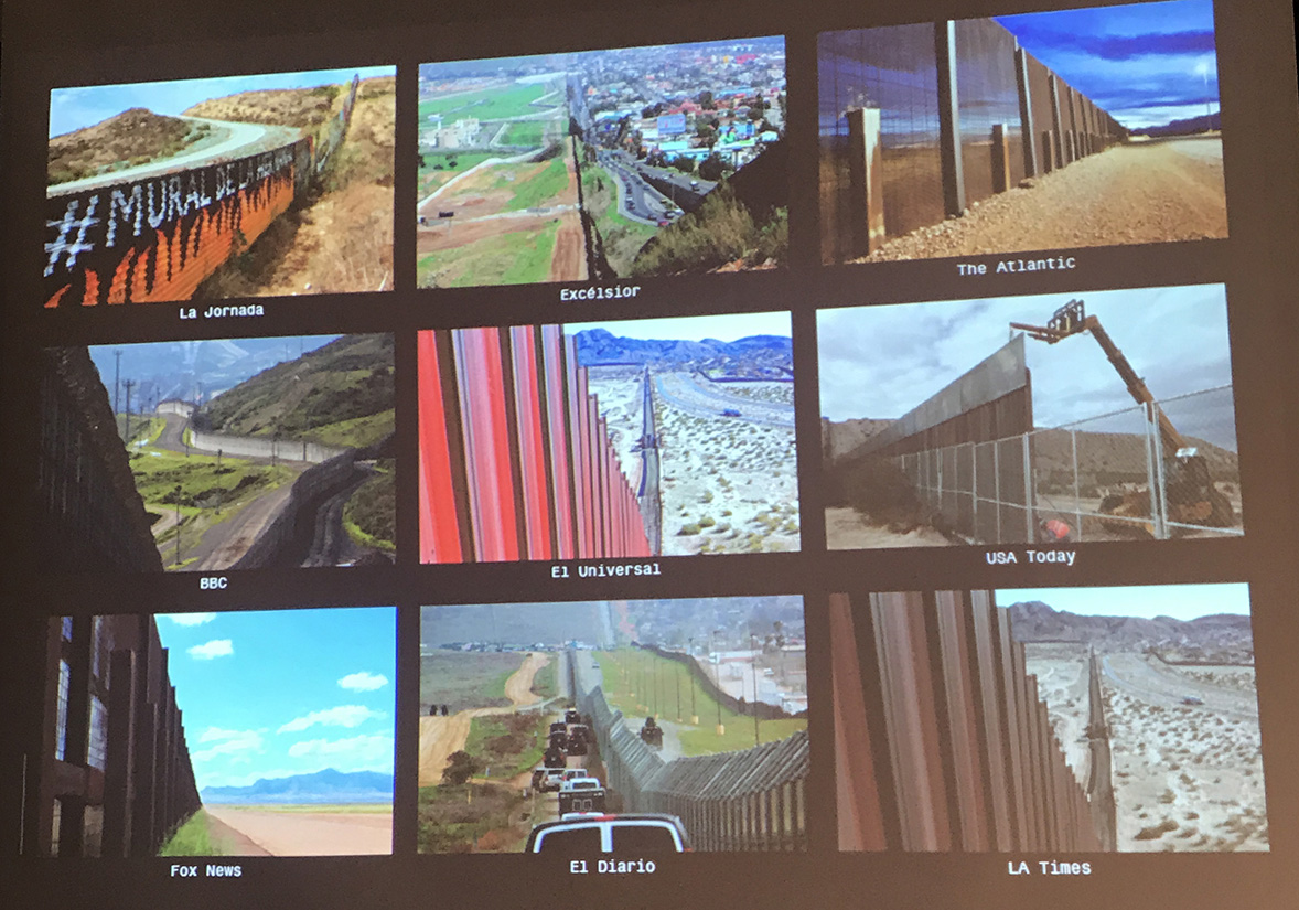
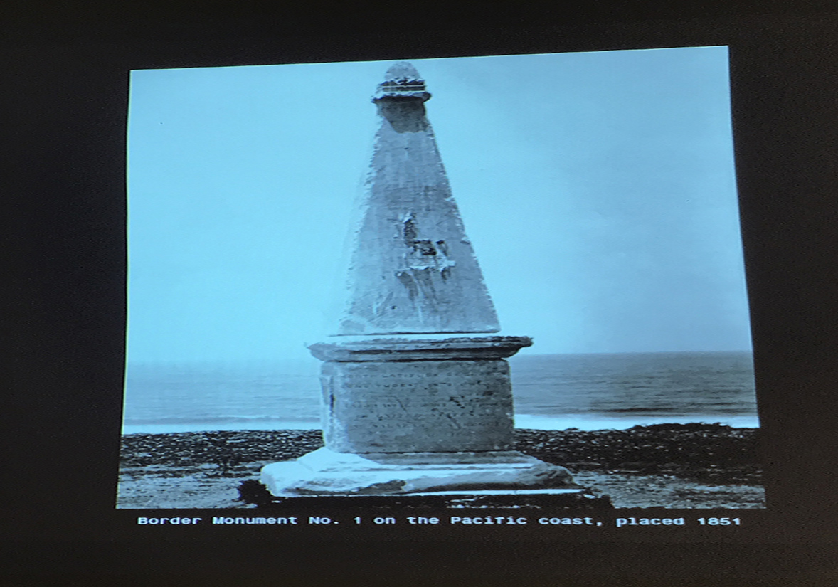
Lastly, Nathan Friedman presented ‘Marble, Iron, Granite, Chrome,’ focusing on the chain of monuments, such as obelisks, that demarcate the border between Mexico and the United States. He discussed their historical significance and their compatibility with the region’s transformations over time.
1/
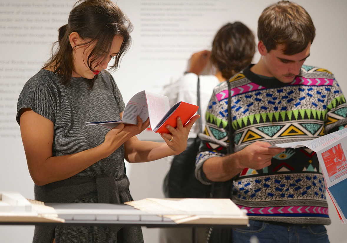
Inside the gallery, visitors were provided with a navigation guide that elucidated the organization and significance of the exhibited objects within the context of the Distributed Vertical Border. Through illustrations, diagrams, sketches, maps, and photographs, the guide captured the spatial characteristics of the objects. This guide followed the original format of the research project—a travel guide—sequentially structured along the migrants’ route, thus simulating the experience of traversing the coordinates of the route towards the northern border.
Additionally, a publication documenting the exhibition was available for purchase, featuring contributions from researchers involved in the public program. ‘The Starting Point,’ authored by District Department co-founder Nathan Friedman and translated by Francisco Quiñones, and ‘When Empires Collapse,’ penned by Migrant Journal Editor-in-Chief Justinien Tribillion, were included in the publication. Both materials were designed by Andrea Carrillo.
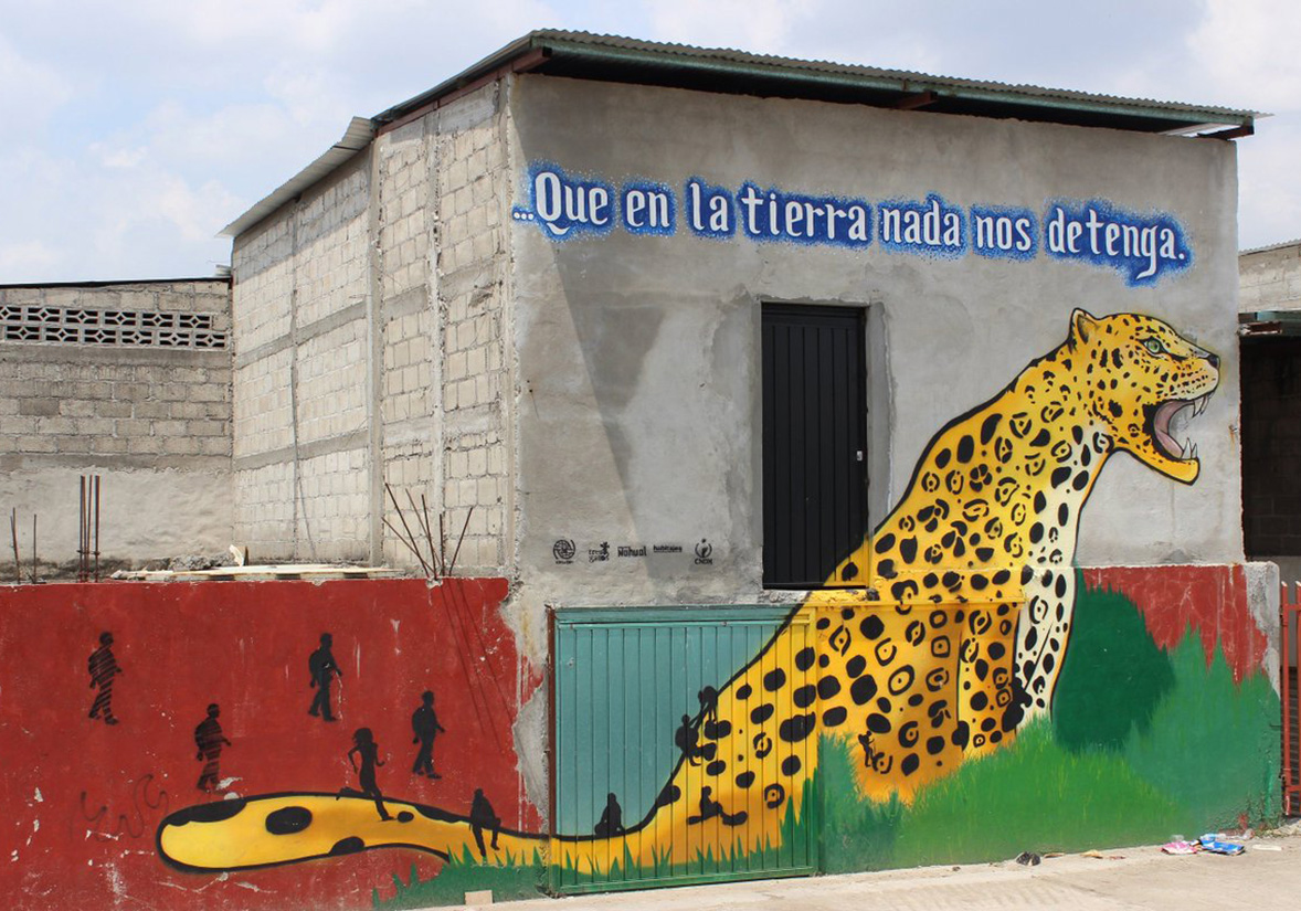
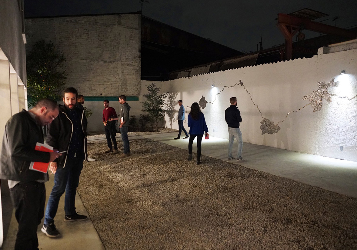
Concurrently with the exhibition, ‘D(e)RAMA BESTIAL,’ an in situ installation complementing the exhibition’s theme, was presented. This installation was led by Rodolfo Díaz Cervantes, director of the Tornel workshop. Further information about the piece can be found [here](insert link).
The realization of ‘Above the Line’ was made possible through support from the National Fund for Culture and the Arts, under the Program for the Promotion of Cultural Projects and Conversions. Additionally, the exhibition was sponsored by Fundación Jumex A.C. Its inauguration coincided with the inaugural opening of Proyector, a curatorial platform co-founded by Pedro Ceñal, who served as partner until June 2019.
1/
A few months after its debut at Proyector, “Walk the Line” embarked on a journey to London, where it was showcased at the Royal Institute of British Architects as part of the esteemed London Festival of Architecture.
Inspired by the research project titled “The Distributed Vertical Border” (2016) by Pedro Ceñal Murga, “Walk the Line” delves into the architectural responses to the migratory flow from Central America to Mexican territory. Specifically, it focuses on the structures that have emerged along the routes of “La Bestia,” the informal freight train network used by thousands to journey northward.
Walk the Line
* Exposición
+ Colaboradores:
Tania Tovar
Juan José Espinosa
Producción de maquetas:
María Sevilla Gómez
Diseño gráfico:
Andrea Carrillo Iglesias
Fotografía:
Pablo Fregoso Díaz
Instalación artística:
Rodolfo Díaz Cervantes
¬ Proyector
∞ septiembre 2018
Reseña en Arquine
Reseña en Coolhunter
Publicación en el calendario de RIBA
Publicación en el programa del London Festival of Architecture 2019
Reseña en Frieze


